Article Details
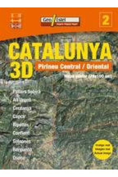
Mapa pòster elaborat a partir de la imatge captada per satèl.lit Landsat-7, posat en òrbita per la NASA el 1999. Presentada en 3D proporciona una visio òptima del territori que en permet una perfecta visualitzacio. El mapa es completa amb la xarxa viària bàsica 2006 i uns 200 topònims de les principals poblacions i elements orogràfics i hidrogràfics per tal de facilitar-ne la interpretacio. S'hi inclou text informatiu que ajuda a llegir i entendre correctament el mapa.
See more Catalunya 3D. Pirineu Central / Oriental
- Publisher GEOESTEL
- ISBN 9788496688087
11,40€
12,00€
-5%
Check availability
11,40€
12,00€
-5%
Check availability
Our booksellers can check its availability and give you an estimate of when it will be ready.
Free returns

 Thank you for shopping at real bookstores!